What We Offer
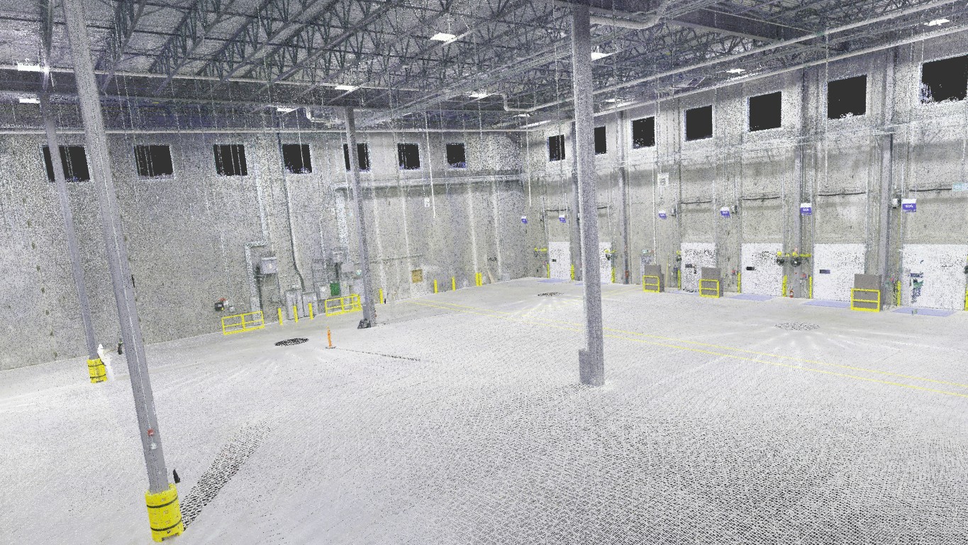
Laser Scanning & 3D Point Clouds
High-precision 3D laser scanning captures every detail of your site or facility. Instantly visualize existing conditions with true-to-life point clouds and eliminate guesswork.

2D Mapping Using Drones
Fast, accurate orthomosaic maps produced by drone flights. Get high-resolution aerial imagery, up-to-date site layouts, and area calculations. All of that delivered quickly, even for very large properties.
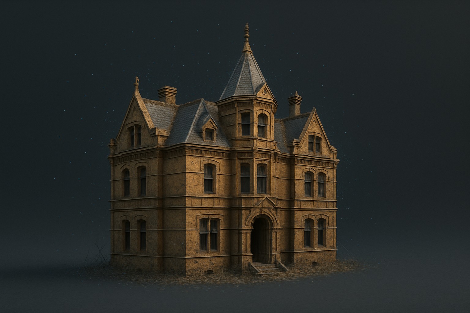
3D Photogrammetry Using Drones
Transform drone images into detailed 3D models of terrain, buildings, and infrastructure. Perfect for volume calculations, project planning, and digital twins without ever setting foot on site.

Thermal Mapping Using Drones
Reveal what’s invisible to the naked eye! Our drone-mounted thermal sensors detect heat loss, moisture intrusion, or electrical issues. Ideal for building diagnostics, solar panel inspections, and industrial maintenance.
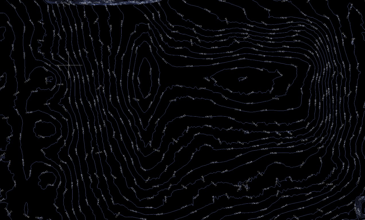
Topographic & As-Built Surveys
Professional land and building surveys for design, construction, and documentation. Get accurate elevations, boundaries, and as-built records for any project, big or small.
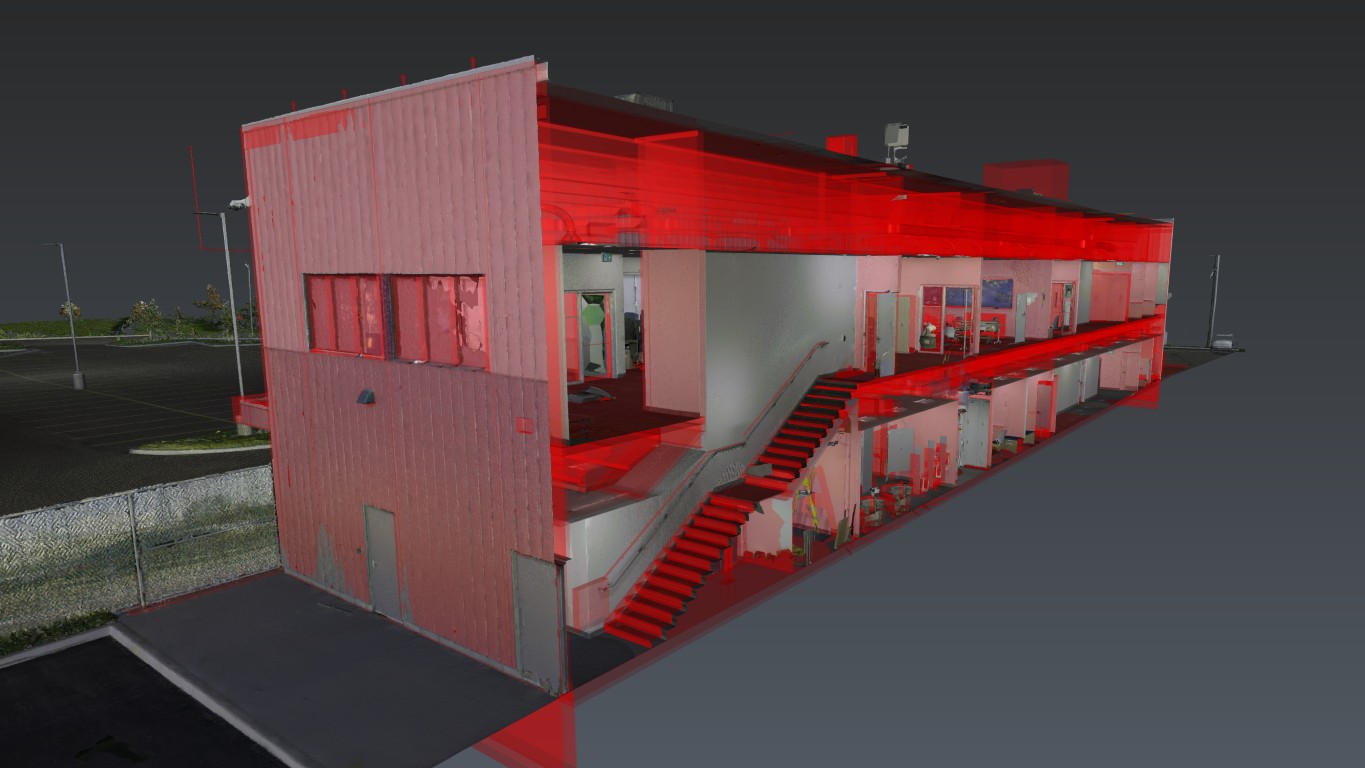
BIM & Scan-to-Model (Revit/AutoCAD)
Transform real-world scans or imagery into intelligent BIM models or CAD drawings. We deliver Revit/AutoCAD files ready for design, analysis, and facility management.
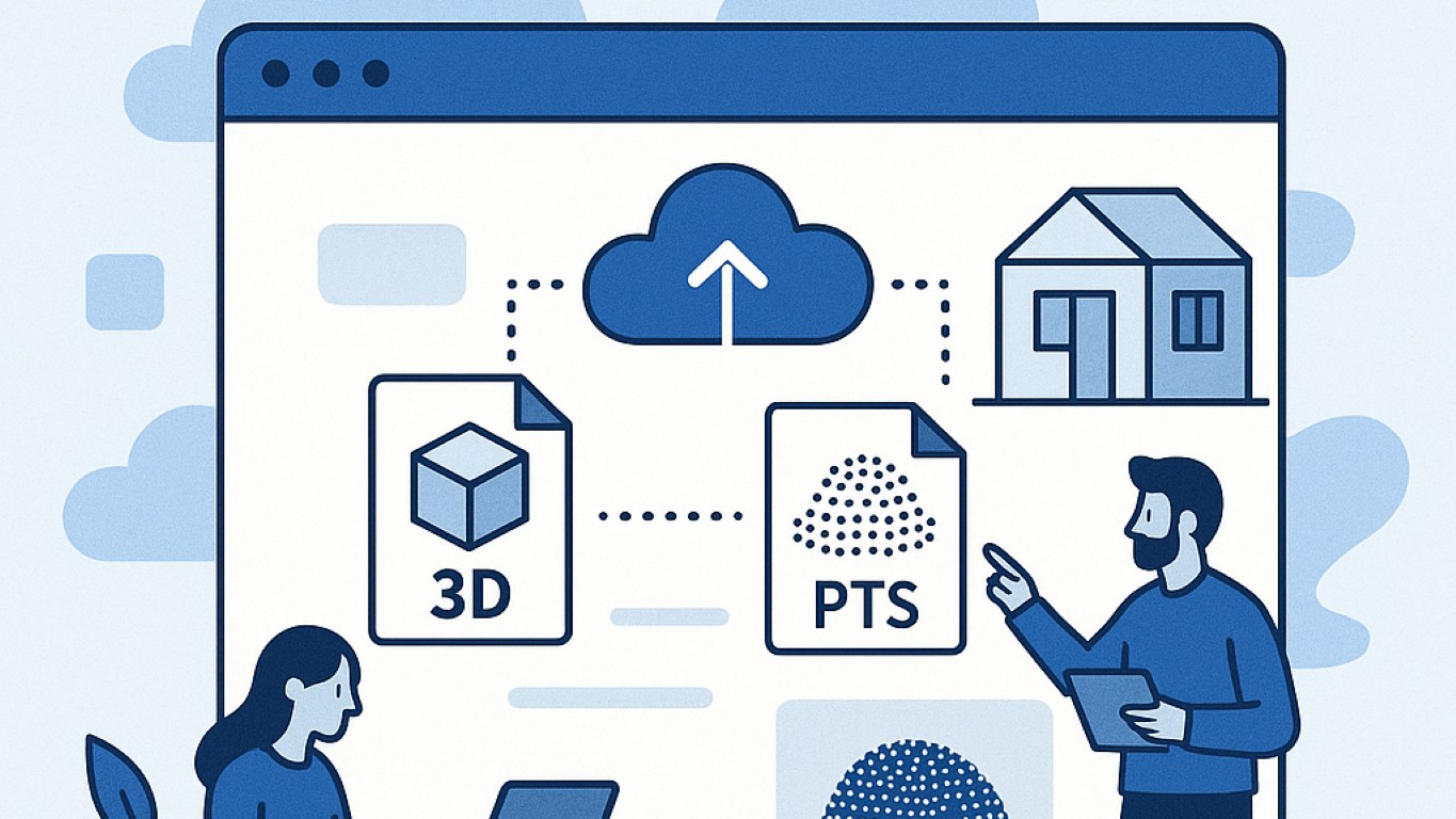
Online Project Portals & Data Sharing
Access your scans, maps, and models anywhere, anytime. Secure web portals for sharing files, collaborating with your team, and fast project updates.
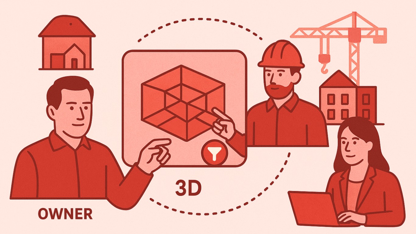
Owner/GC/Consultant Stakeholder Coordination
Bring everyone together, from project start to finish. We facilitate collaboration between owners, contractors, architects, and engineers—minimizing miscommunication and keeping your project moving forward.
Not sure which service fits your project?
Contact us